The Bull Public House
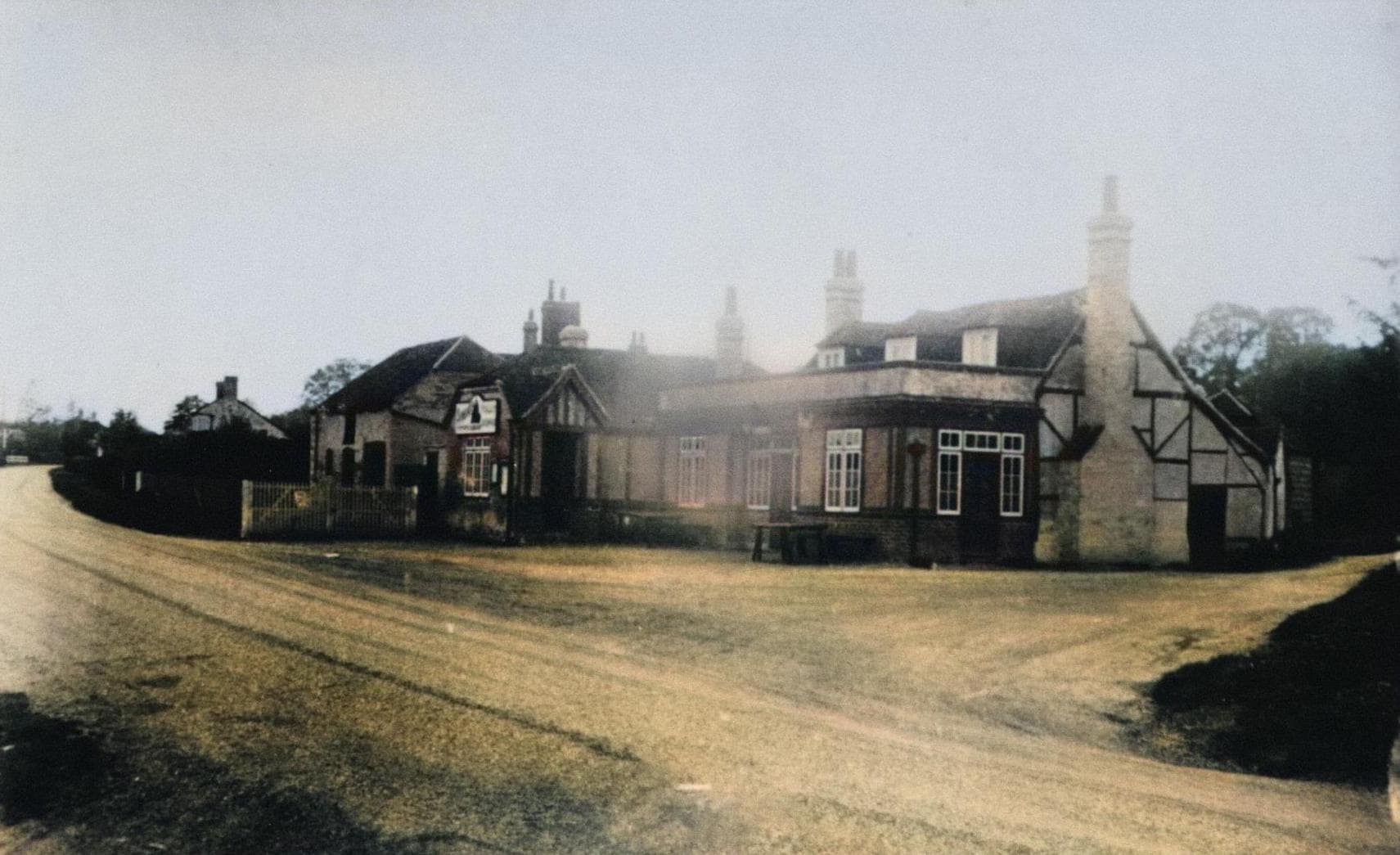
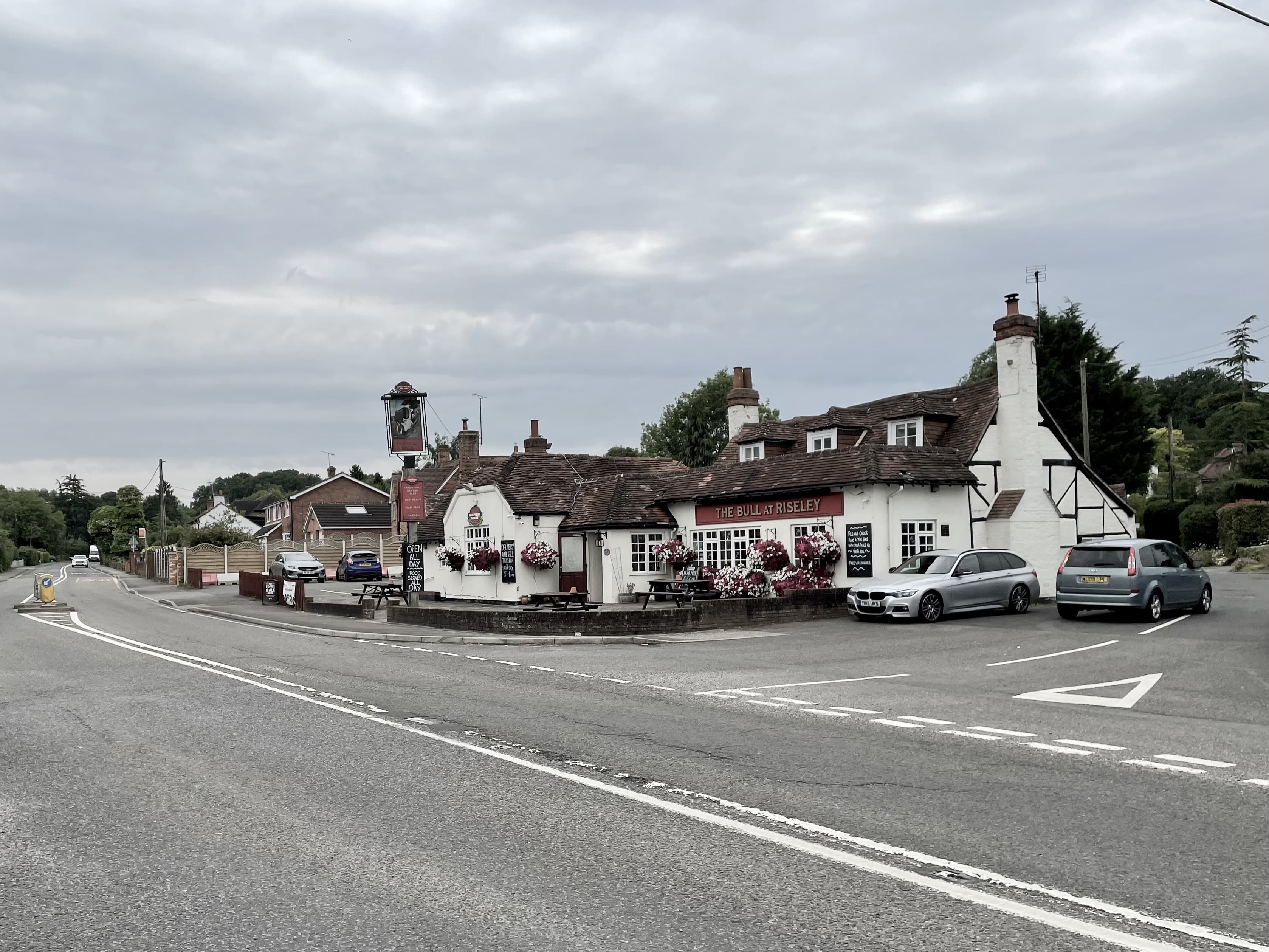
1900s / 2022
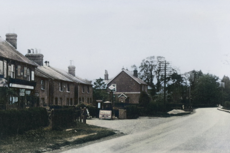
The Bear Inn!

The view looking north towards Reading as the Odiham Road meets the Basingstoke Road. In the far left you can see The Bull, while on the right is the Bear Inn. The year is currently unknown.
In the first photo, The Bear Inn is now M Woods’ Coal Merchant. In the second photo from 2022 you can just about make out the Bull on the far left.
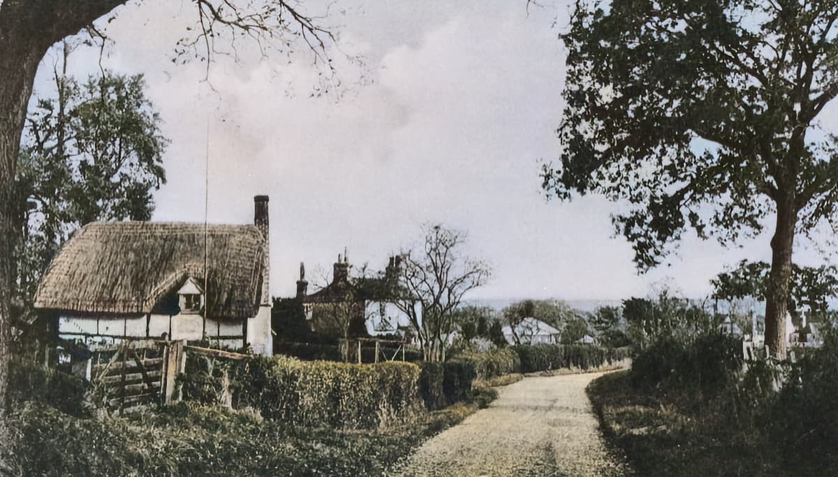
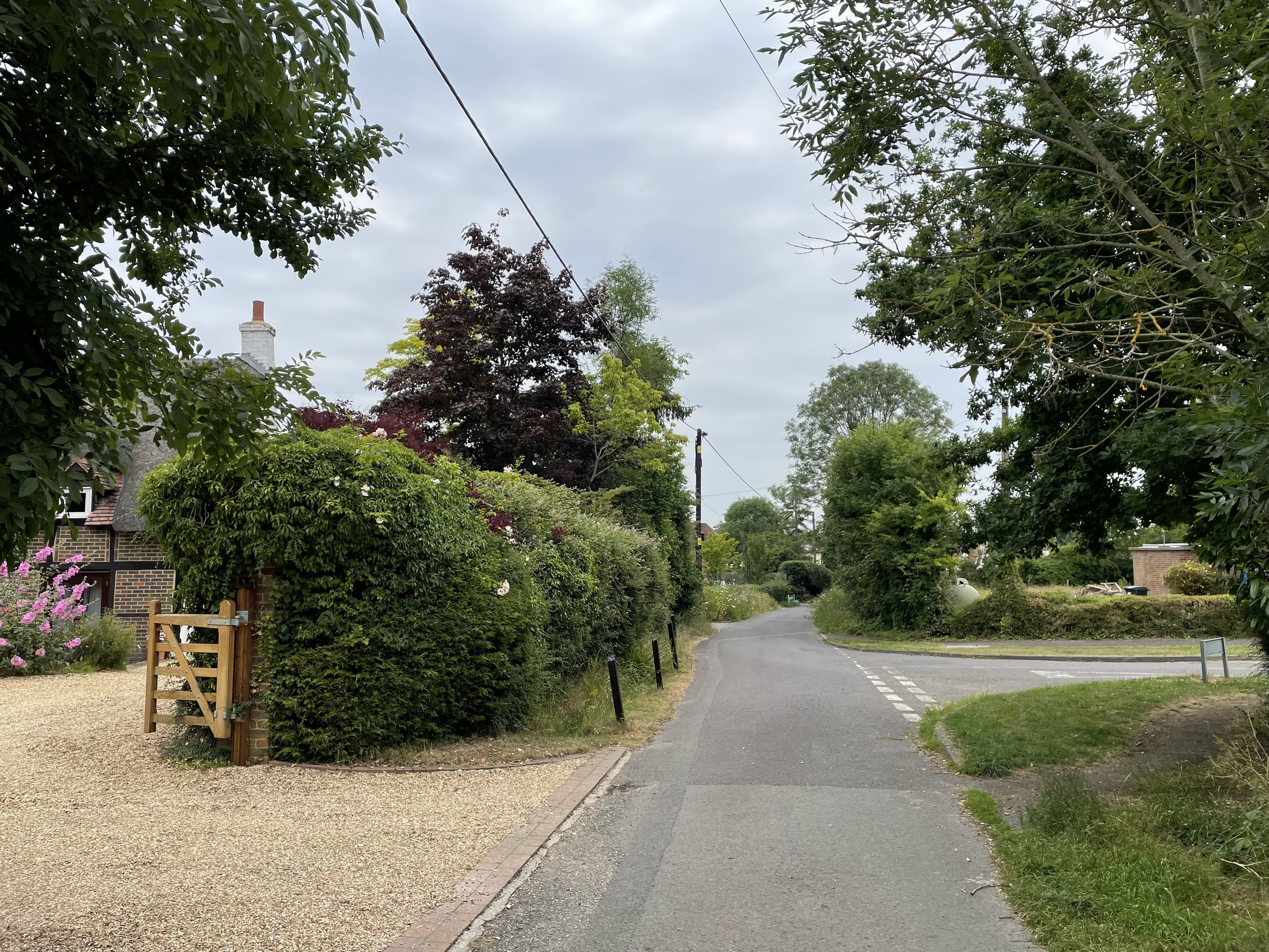
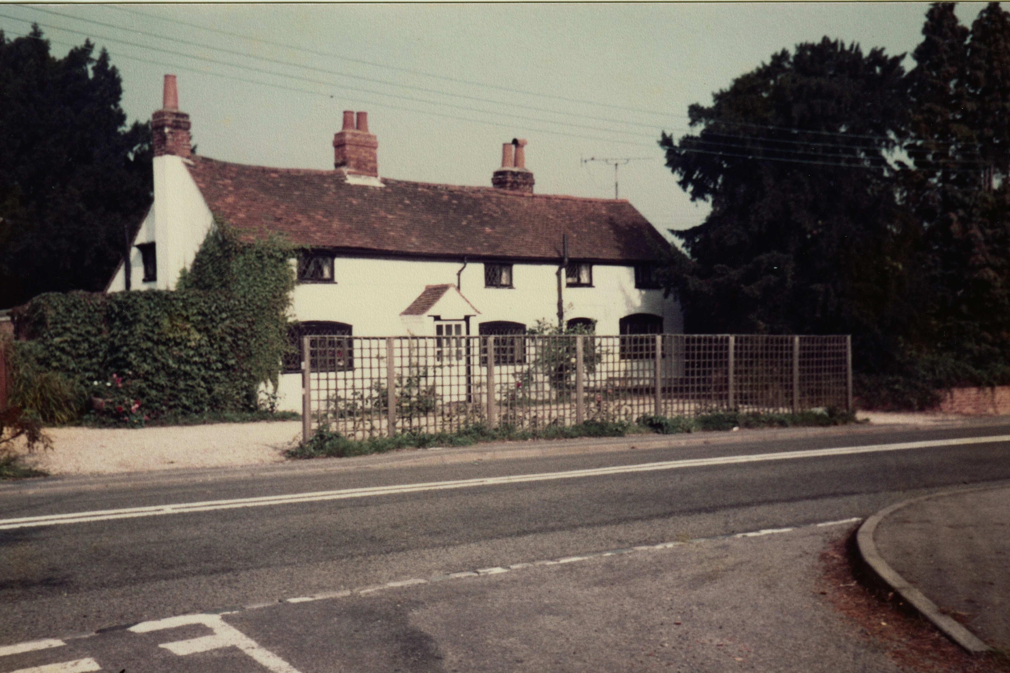
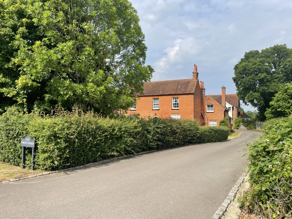
Bull Lane
If you look closely at the cottage on the left, you can see the same window (left, middle).
1900s / 2022
Branchet’s Store & Dog and Partridge
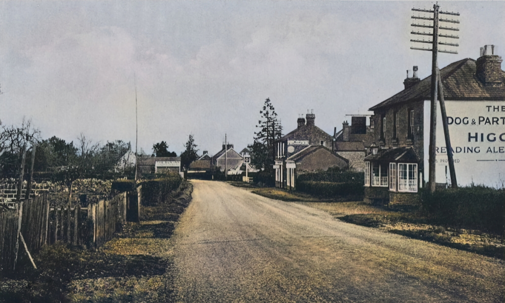
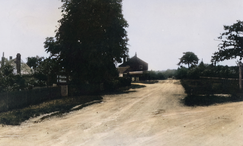
Looking north along the Basingstoke Road with the Dog and Partridge on the right, and The Sun Inn on the far left. Dated 1940s.
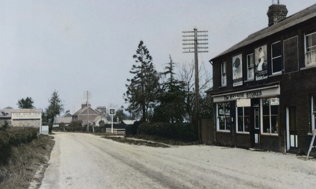
Here you can more clearly make out The Sun Inn and Wayside Stores
Wayside Stores would later become an ice cream shop.
Which eventually became houses. This photo is from 2001.
The Sun Inn
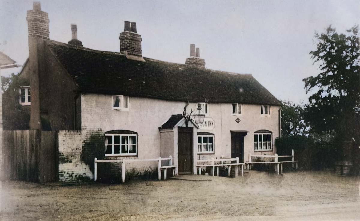
1900s/1996
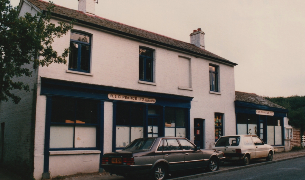
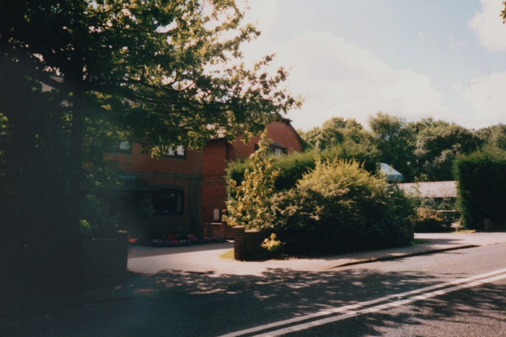
Maythorne Stores

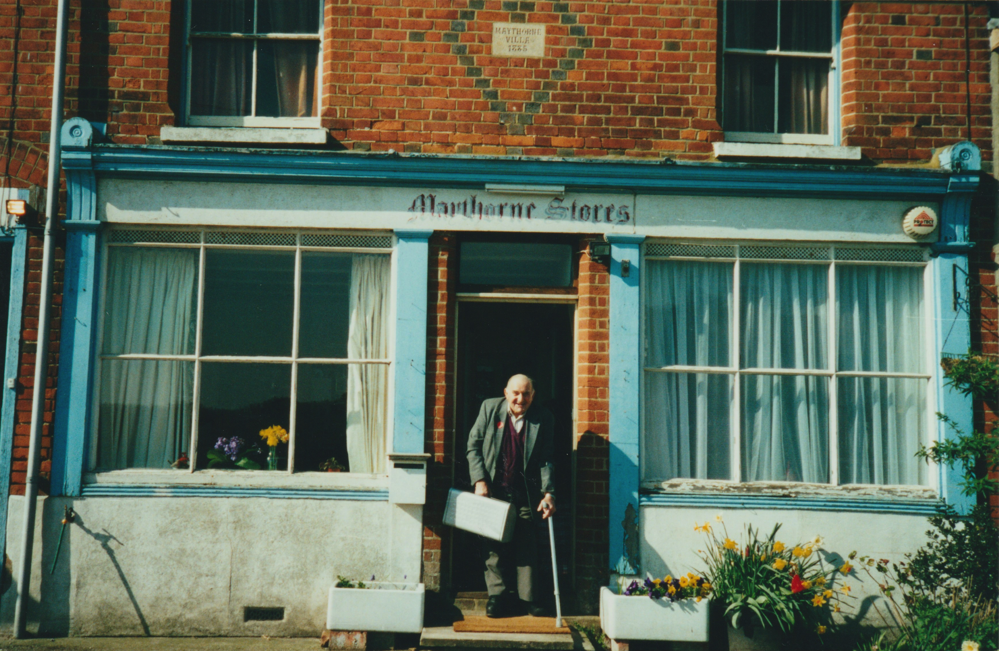
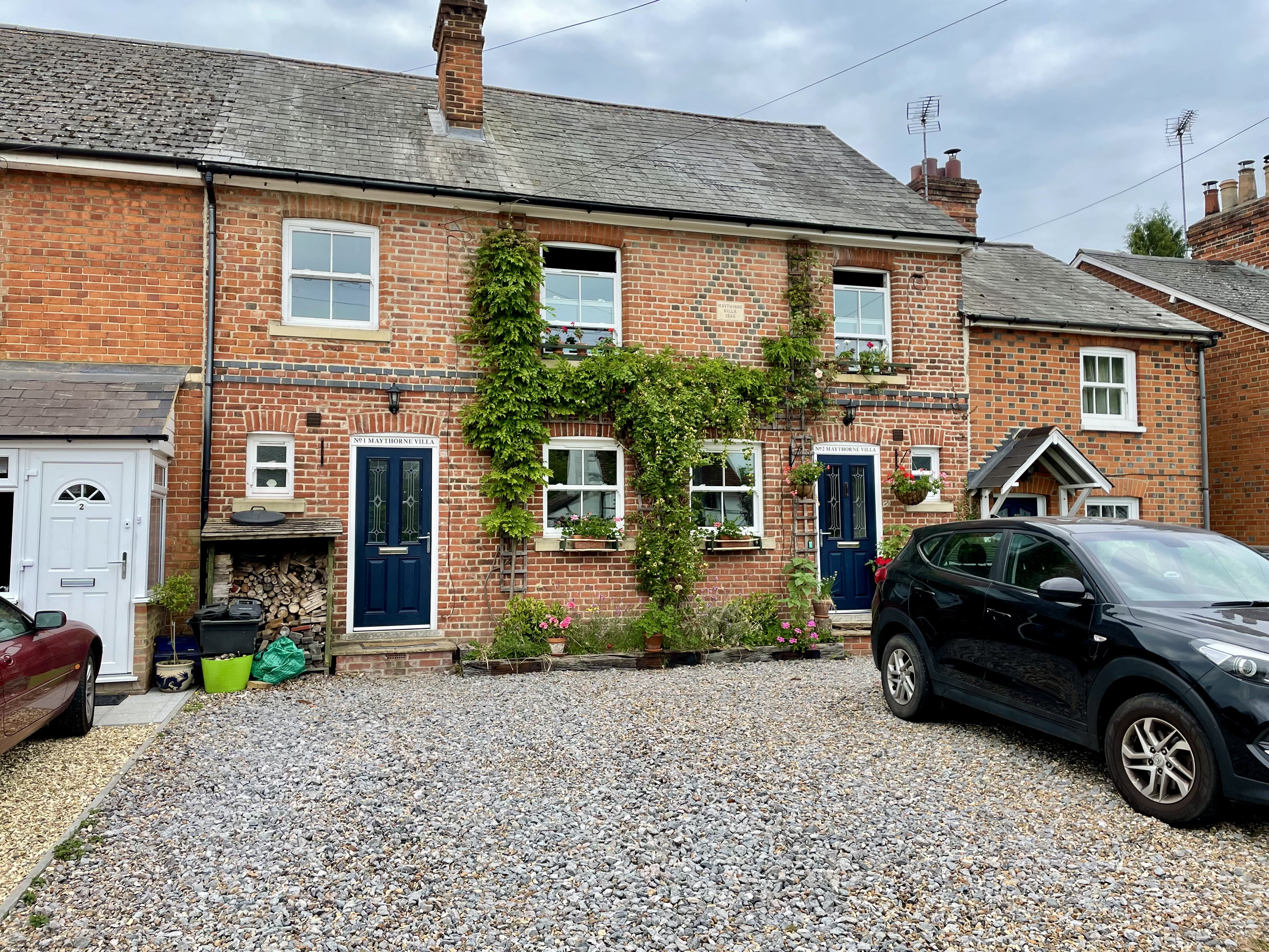
2000 / 2022
In this first photograph from the 1950s, Maythorne Stores can be seen on the left. You can also see Copse House prior to its extension (centre). The second is from 1990.
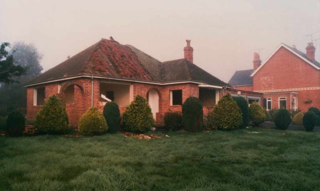
Next to Copse House was a beautiful cottage named Petroli. This photo from 1987 shows it in a state of disrepair. It was later replaced with two houses.
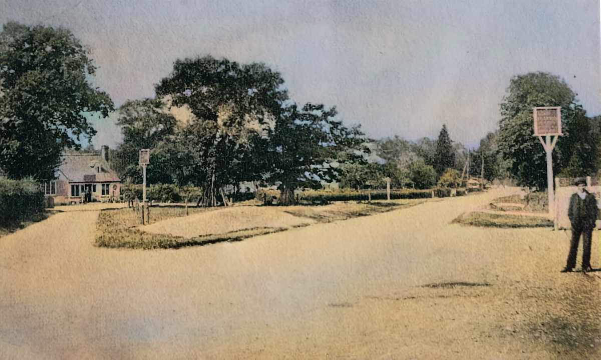
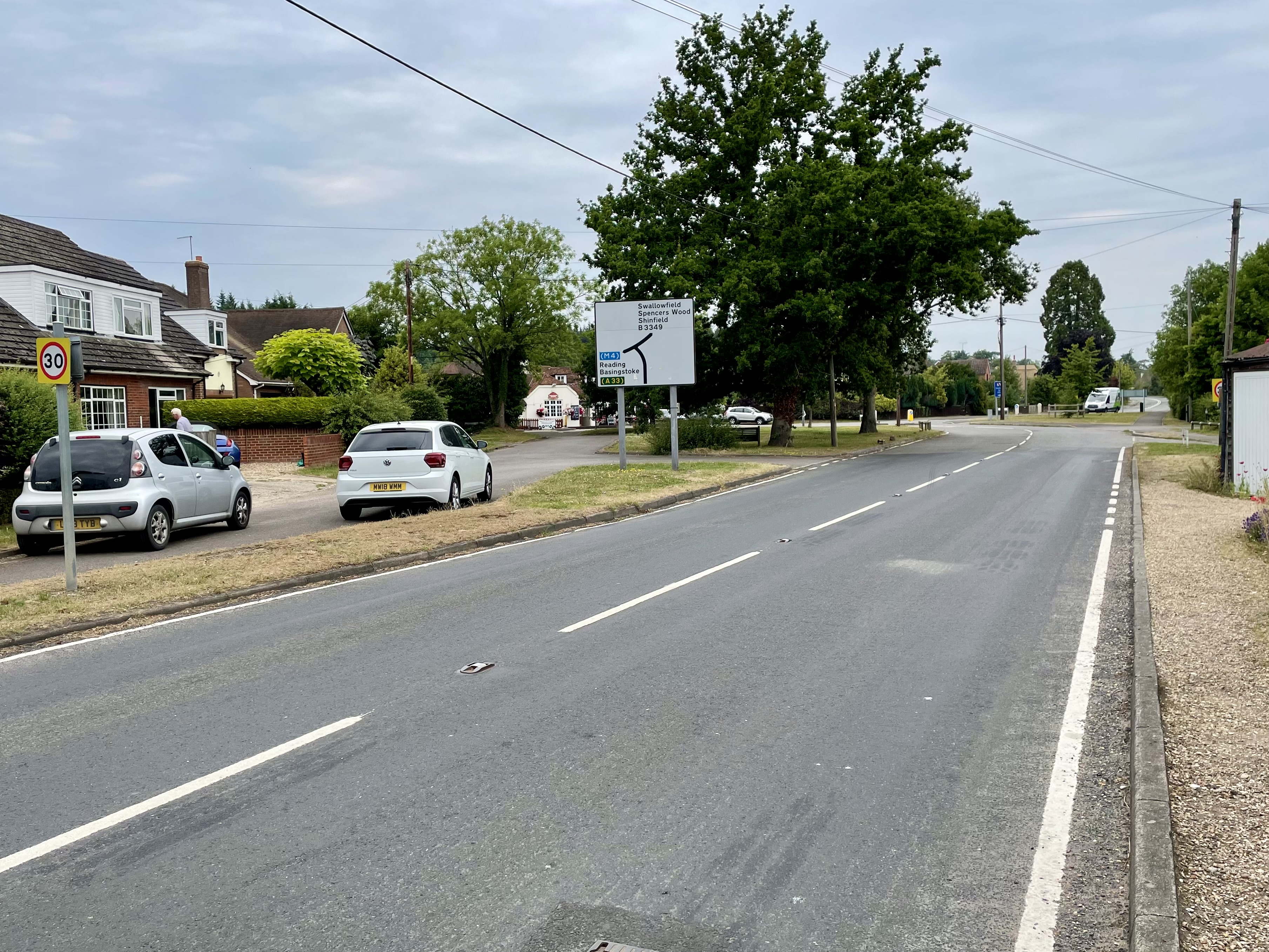
Odiham Road
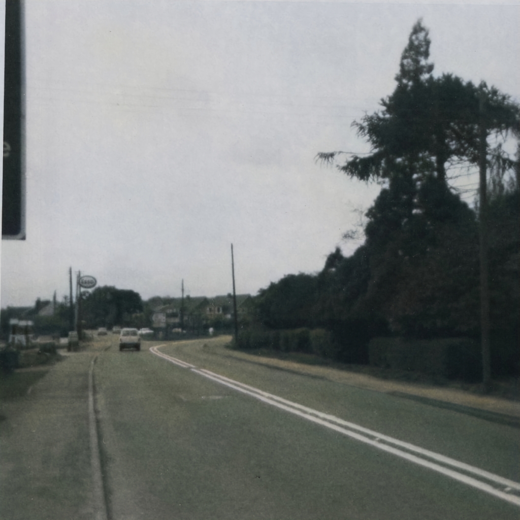
Looking south as the Odiham Road (left) joins the Basingstoke Road (right). In the centre you can see top of Part Lane. Year unknown.
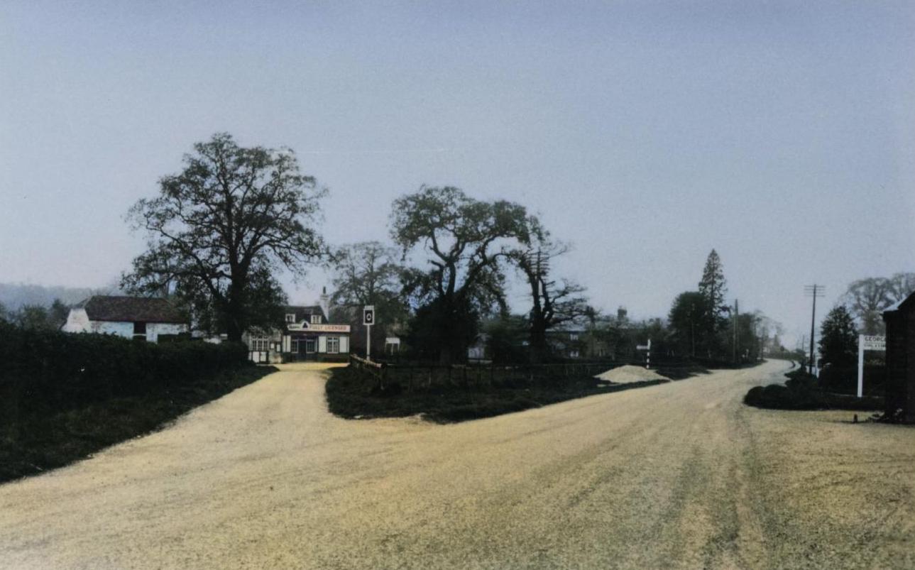
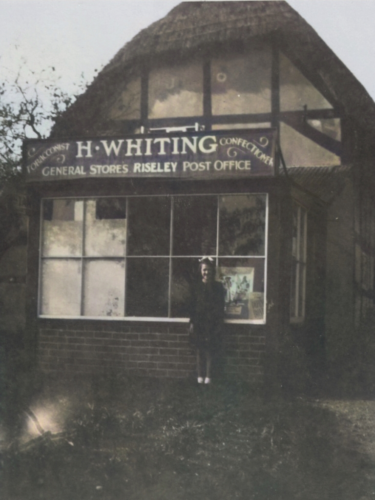
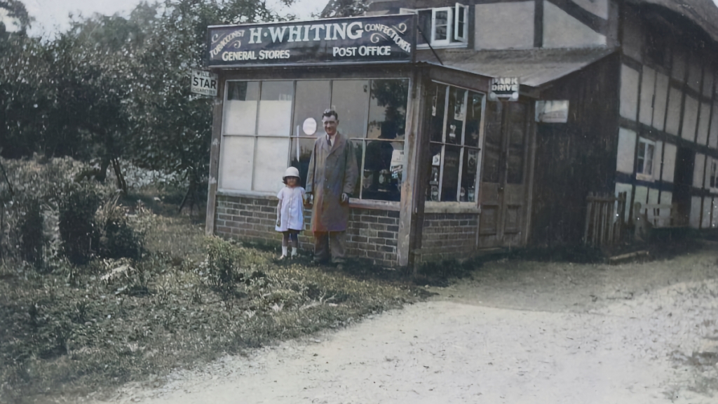
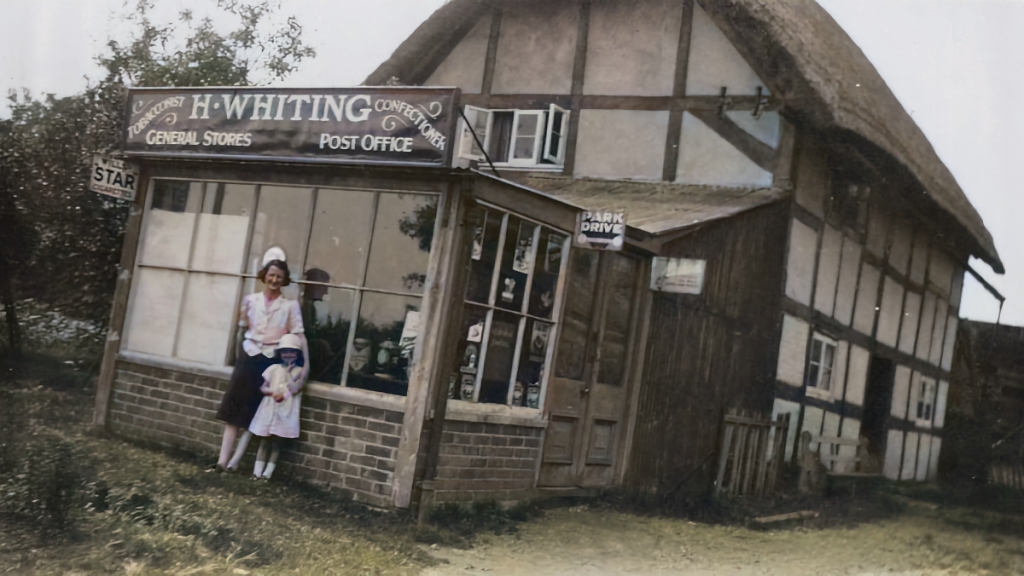
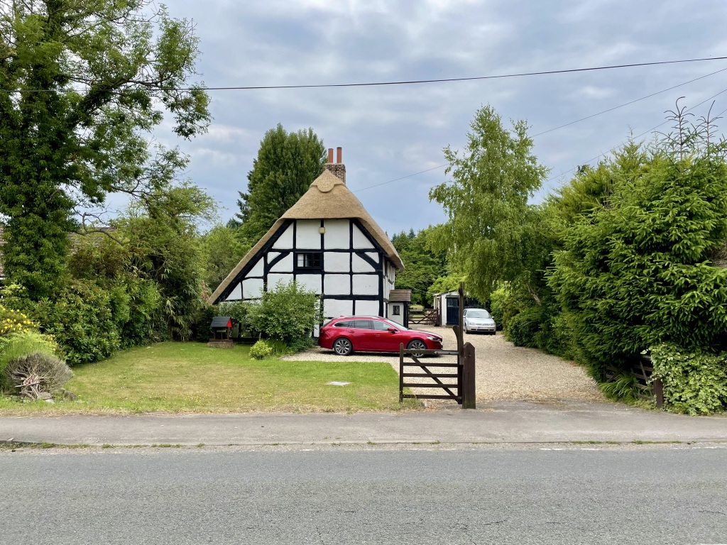
Tudor Post House
In the 1930s.
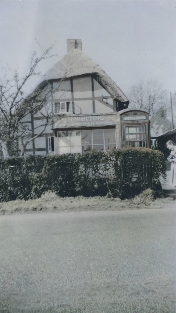
In the 1930s.

Into the 1940s. Notice on the sign that the word ‘Riseley’ has been covered up. Presumably this was to avoid helping any German bombers or a potential invading force with navigation.
Riseley Garage
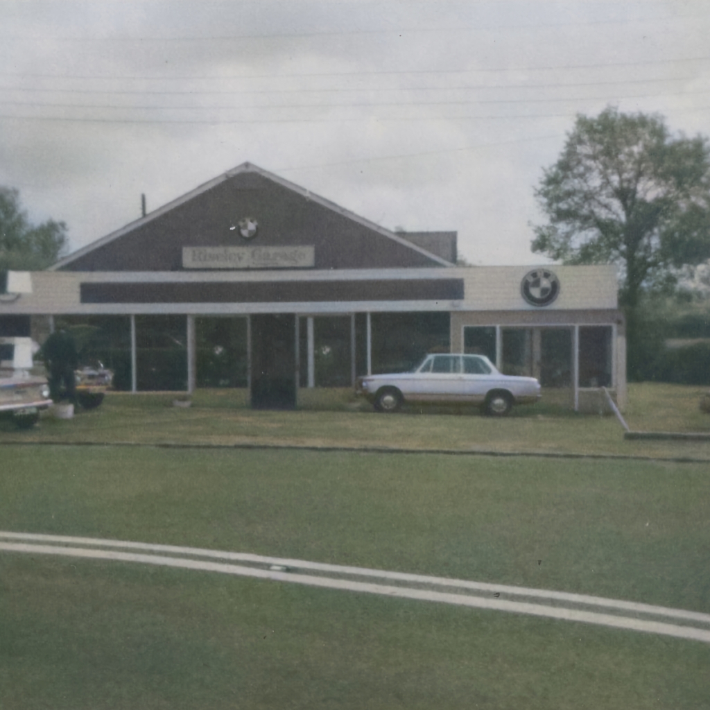
On the site of what eventually became Riseley Business Park and is now residential flats. Year unknown.
You can see the garage again on the left.
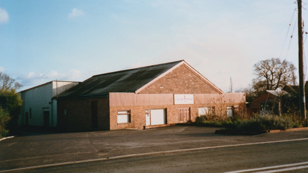
It would later become “Reading Chair & Desk”. This photo was taken after it closed in 2001.
Today the site houses a mixture of commercial and residential properties.
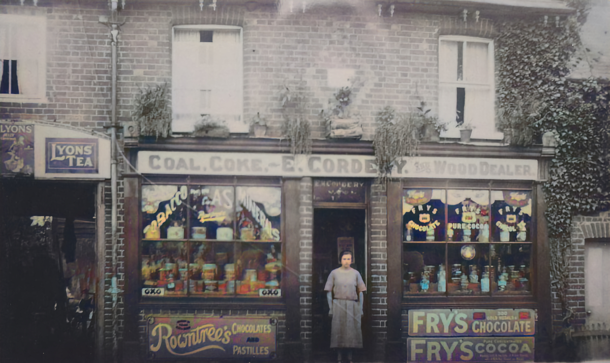
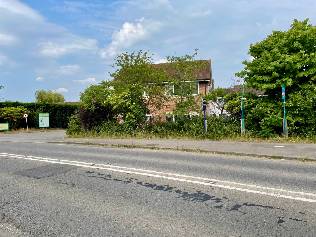
Bullock Shop (Riseley Stores)
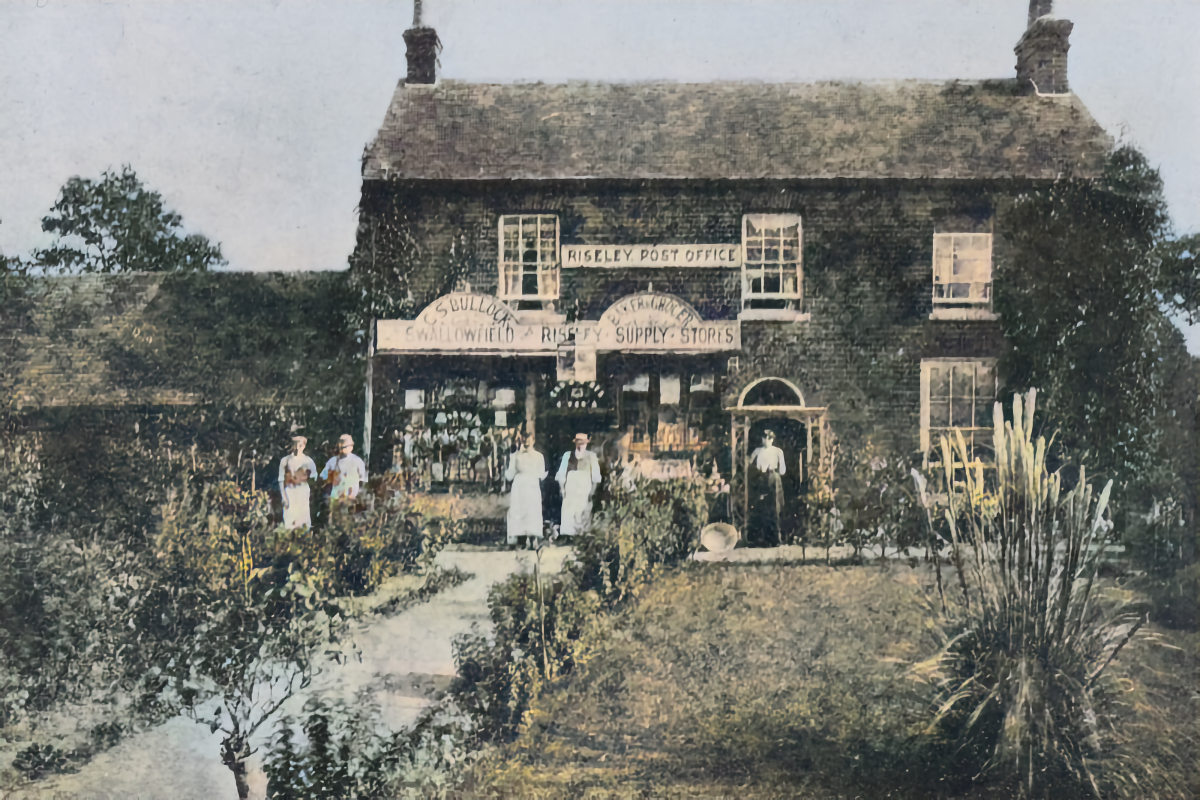
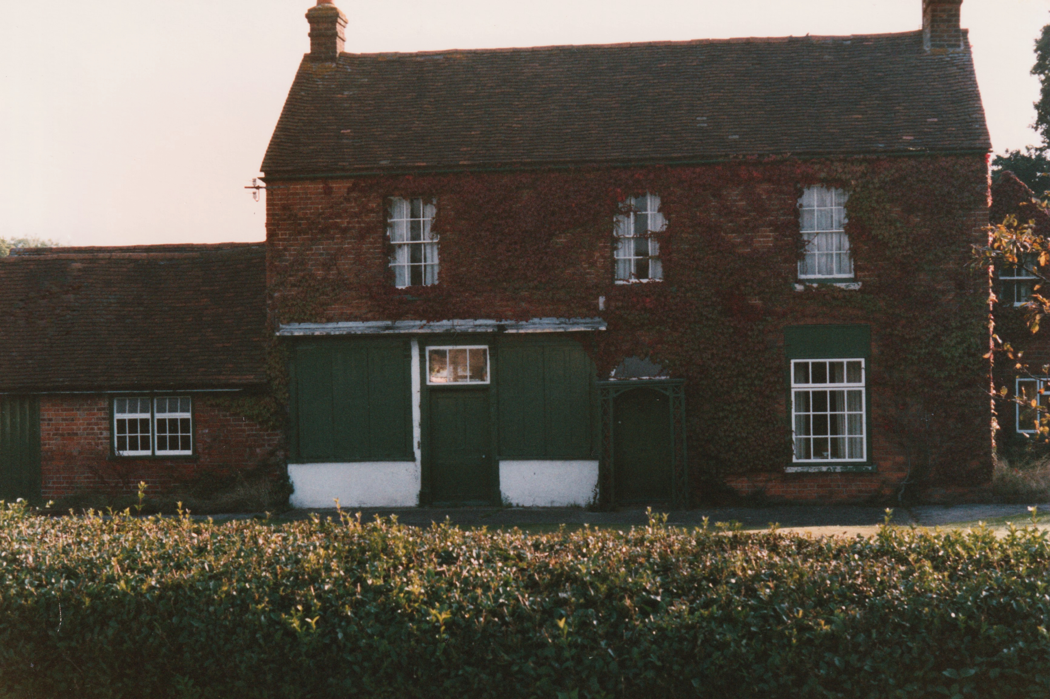
1900s / 1990s
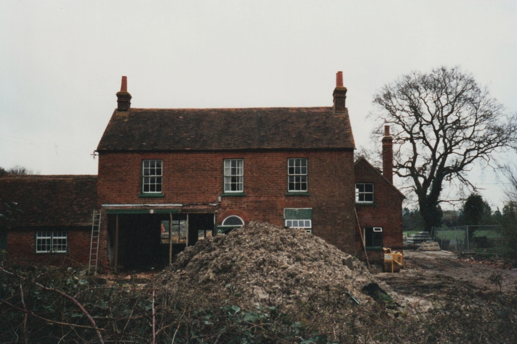
2000
2022
About This Site
This site is maintained by Marc Wickens. The materials were left to me by my Grandmother, Barbara Baker, who conducted a research project on the history of Swallowfield and Riseley. There are many, many more images and details that I plan to add here in the future.
If you can help date any of the images, have any to share, or would like to notify me of any errors, please get in touch.
Modifications: Some of the images have been colourised using machine learning. For images that were originally postcards I have also removed location text from the image itself.
Contact
The best way to get in touch is via email. (See this page.)